Bolivia: the Altiplano, the Salar de Uyuni and Lake Titicaca
The altiplano end of the Andes: higher, drier and emptier than Peru, and the part of the continent where distance is measured in days rather than hours.
.jpg)
Bolivia is covered here in less depth than Guatemala or Venezuela, and the pages that exist are the ones where the country does something no neighbour does: the salt flat, the high plateau itself, and the Bolivian side of Lake Titicaca.
The single fact that shapes travel here is altitude. La Paz sits between roughly 3,200 m and 4,100 m depending on which part of the bowl you are in, and most of the country a visitor crosses is higher than anywhere in the Alps.
The altiplano
A plateau between the two Andean ranges, averaging around 3,750 m, cold at night in every season and dry for most of the year. Distances across it are long and the roads are better than they were, which is a low bar honestly met.
Salar de Uyuni
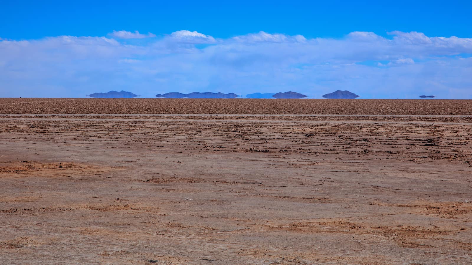
The world's largest salt flat, and two entirely different destinations depending on the month: dry and white from roughly May to November, flooded and mirrored in the wet season when a shallow film of water sits on the surface.
Titicaca from the south
Copacabana and Isla del Sol are the Bolivian half of the lake, lower-key than the Peruvian side and reached across the Strait of Tiquina by a barge that takes vehicles one at a time.
Getting used to the height
Arriving directly into El Alto at about 4,050 m is the harshest introduction to altitude anywhere on the continent, and the reason many itineraries come overland from Peru instead, gaining height across Titicaca. Two quiet days on arrival, no alcohol and more water than feels necessary are the standard advice, and they work.
The Yungas, dropping north-east from La Paz into the Amazon basin, are the other side of the same geography: 3,000 m of descent in a few hours, and the reason the old road down them has the reputation it does.
La Paz, and the two cities stacked on each other
La Paz is built into a canyon and El Alto sits on the rim above it, and the difference in height between the two is roughly the height of a mountain elsewhere. That vertical arrangement is the city's defining fact: the airport, the bus terminals for the altiplano and most of the population are on top, the government and the older centre are in the bowl, and the cable-car network built through the 2010s is now the normal way between them. That network, Mi Teleférico, opened its first line in 2014 and has grown to ten lines and roughly 30 km of cable, which makes it the way a visitor actually moves between the two levels.
For a visitor it means arrival altitude is a choice. Coming off a flight at El Alto puts you at around 4,050 m before you have carried a bag; dropping straight down into the lower part of the bowl, several hundred metres below, is the standard advice for a first night and it works.
The Uyuni circuit, day by day
The standard trip runs three days from Uyuni to the Chilean border at Hito Cajón. Day one is the flat itself, the train cemetery outside town and the salt-block buildings at Colchani. Day two leaves the salt for the high lagoons: Cañapa, Hedionda and Honda with their flamingos, then the Siloli desert and the rock formations in it. Day three starts before dawn for Laguna Verde under Licancabur and the Sol de Mañana geysers, and ends either at the border for Chile or back in Uyuni late.
The second night is spent near Laguna Colorada at around 4,200 m, in unheated accommodation, and it is reliably the coldest night of any trip on this site. A sleeping bag rated well below freezing is worth hiring in Uyuni even when the operator says bedding is provided.
The salt flat in numbers
The Salar de Uyuni covers roughly 10,582 square kilometres, a figure that comes from satellite measurement rather than ground survey, and sits at about 3,656 m. Published elevations for it differ by a few metres between sources, which is what happens when the thing being measured is a salt crust carrying a film of water for part of the year. Its flatness is the reason it is used to calibrate satellite altimeters: across tens of kilometres the surface varies by well under a metre.
Scale is the part that does not photograph. Crossing it is hours of driving with nothing to judge distance against, which is why the tours build the day around the few objects that exist on the surface: the salt-block buildings at Colchani, the cactus island of Incahuasi, and whatever vehicle happens to be parked in the middle distance.
Distances, and how long they really take
La Paz to Uyuni is around 550 km and most of a day; Uyuni to the Chilean border across the Eduardo Avaroa reserve is a three-day 4x4 trip rather than a transfer. Bolivian distances are honest on a map and misleading on a schedule, and the altiplano is where itineraries built in another country usually break.
Frequently Asked Questions
How bad is the altitude in La Paz?
El Alto airport sits at about 4,050 m and the city drops from there into the bowl. Arriving by air from sea level is the harshest introduction on the continent; coming overland from Peru across Titicaca is gentler and slower.
When should you visit the Salar de Uyuni?
Two different destinations: May to November is dry, white and drivable across; the wet months leave a film of water on the surface that produces the mirror everyone photographs, and closes parts of the flat to vehicles.
How long does the Uyuni tour take?
The standard circuit is three days and two nights from Uyuni to the Chilean border, crossing the Eduardo Avaroa reserve. One-day trips see the flat and none of the lagoons.
Is it easy to cross from Peru?
Yes. The Copacabana crossing at Kasani is straightforward and the lake route is the usual way in, with the barge across the Strait of Tiquina on the road to La Paz.
How cold does it get?
Below freezing at night on the altiplano in any season, and the Uyuni circuit's second night is regularly the coldest room a traveller will sleep in on the continent.